User:Jules/accuracyingeolocation
Nothing on Earth has fixed coordinates, because of the Earth's tectonic movement.
How does Google Maps, cars navigating systems and other mapping related services can help you find your way across the surface of the Earth?
Coordinates require regular updates.
A sizable infrastructure of geographers, geologists, and geodesists are dedicated to ensuring that maps are accurate. But they are always a step behind the restless landscape. Geologic activity can create significant errors in the maps on your screens.
Ken Hudnut, an earthquake researcher who works for the U.S Geological Survey says :
“you’re standing right in the middle of a road intersection with your GPS receiver and you get the coordinates for your position, you look at Google Earth, and instead of being located right at the middle of the road intersection, you’re off by some amount.”
Factors that can induce these errors are :
- Consumer GPS units can have several meters of position uncertainty (GPS hardware quality)
- maps and satellite images can be misaligned (georeferencing quality)
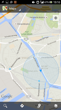
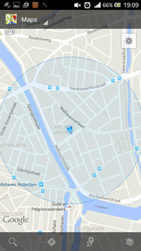
In 2008 a study showed that within Google Earth images in 31 cities had position errors ranging from 1 up to 50 meters.
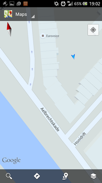
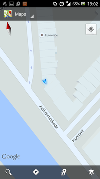
It's easy to check it out.
My bedroom is an impenetrable fortress...
“We’re fast approaching the day when people will expect accuracies of centimeters in real time out of their handheld devices and then we’ll see a lot of head scratching as things no longer line up,”
Dru Smith of the National Geodetic Survey in Silver Spring
Most misalignment problems are not related to actual geologic movements but rather because it's hard to align aerial image on the longitude/latitude grid.
Images have to be aligned with reference points on the ground).
A fixed GPS stations Network has been maintained over the last tao centuries, from which originates all the survey markers present in the land.
http://geodesy.noaa.gov/CORS/
The process of ground truthing a map isn't perfect and the survey mark can have imprecise coordinates. These marks are very infrequently checked. But a community of people is checking them out and documenting them for fun:
http://www.geocaching.com/mark/
One other problem, is the coordinates grid itself. The U.S for instance uses two different datums. Most maps are based on NAD 83 from the NGS. Google Maps and GPS rely on WGS 84, which is maintained by a military agency, which has a much bigger budget than the National Geodedic Survey.
https://www.nga.mil/Pages/Default.aspx
http://www.washingtonpost.com/wp-srv/special/national/black-budget/

