User:Simon/Special Issue 8/GPS walking
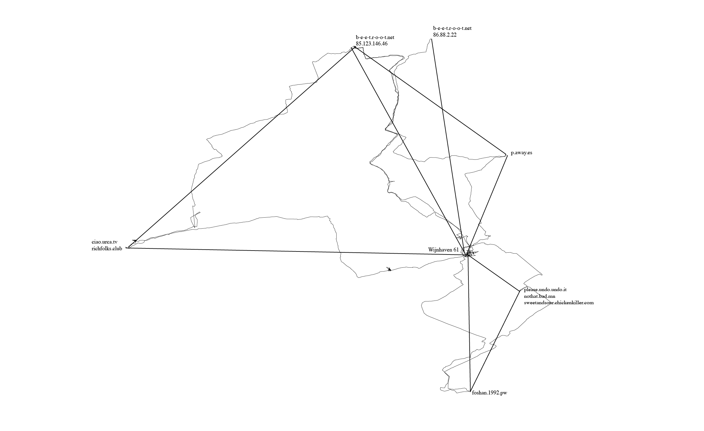
One of the actions I included in my network of possibilities was to begin walking between different points in our network (our homeservers, and also the PZI building where we gathered to have classes and work on Special Issue 08).
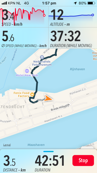
I used a hiking app called "Trails", which would record my walk over GPS, from which I could export the .gpx file generated after walking, and then load it into a program for geospatial information called QGIS. An interesting feature of this software is in how it represents the line created by walking - you can upload it as trackpoints (snapshots of your location determined by satellite trilateration), and also as straight lines between the trackpoints. I started to realise how abstraction was a large part of mapping, which reminded me of the map/territory problem.
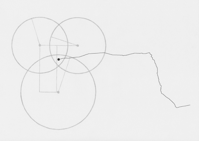
I began to make drawings, which, by being devoid of text that would explain them, could act as illustrations of how this map was being made:
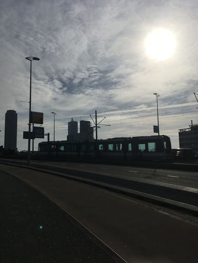
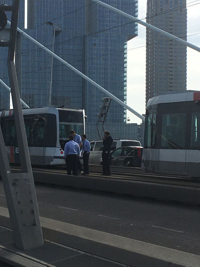
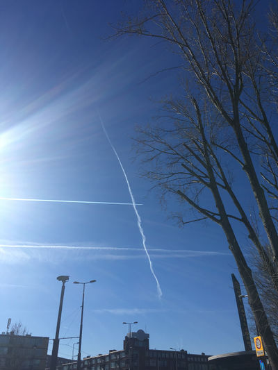
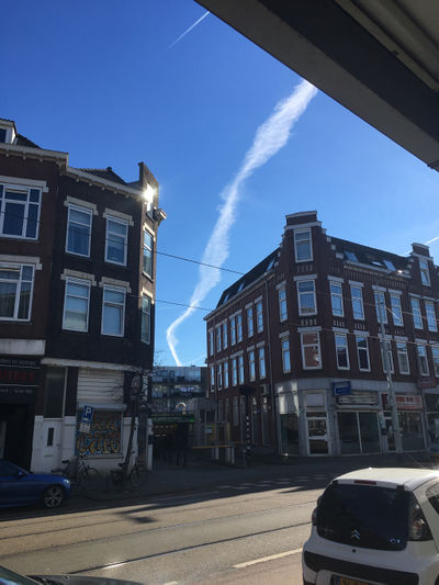
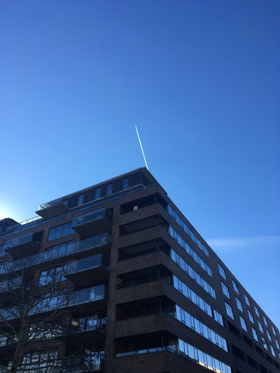
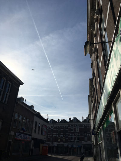
During each walk I would take photos and write notes on thoughts that came up. I began noticing other networks around me.
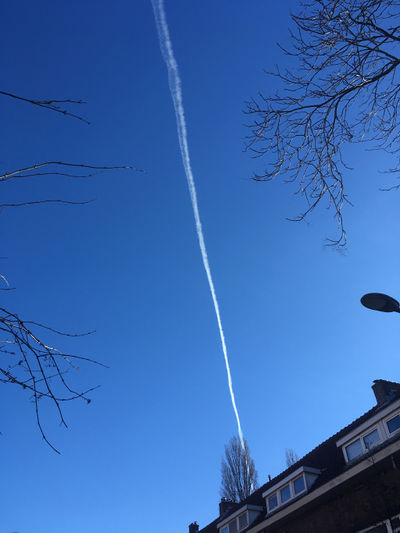
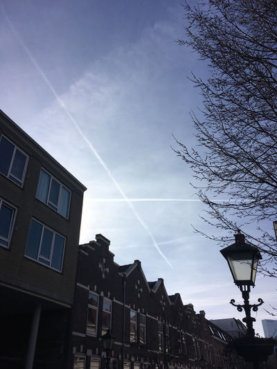
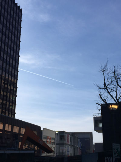
Flight paths that produced contrails (or chemtrails):
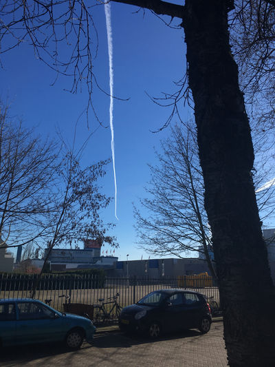
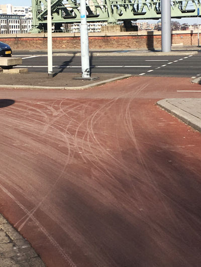
Bicycle networks:
Each walk became an act of drawing (using GPS) and also a meditation.
