User:Simon/Special Issue 8/summary second half trim: Difference between revisions
| Line 7: | Line 7: | ||
==GPS walking== | ==GPS walking== | ||
[[File: | [[File:GPS walking.jpg]] | ||
<br> | <br> | ||
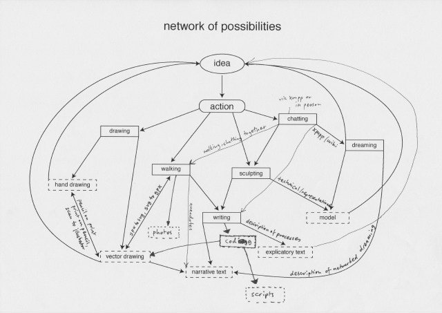
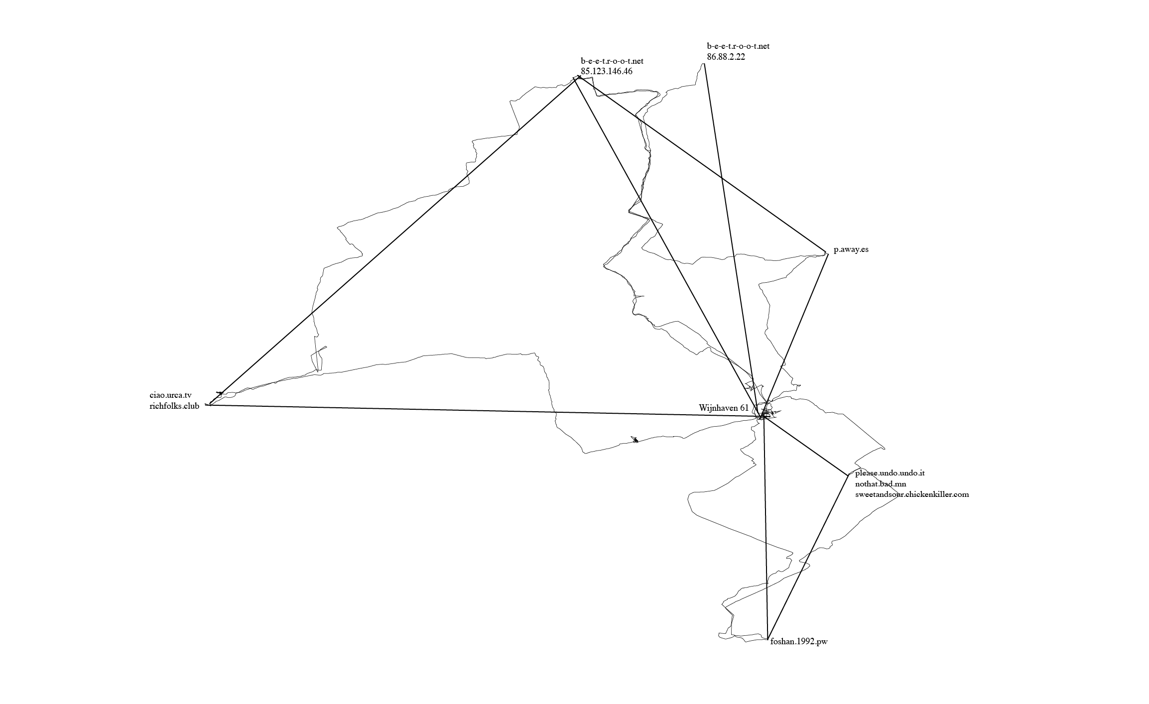
One of the actions I included in my network of possibilities was to begin walking between different points in our network (our homeservers, and also the PZI building where we gathered to have classes and work on Special Issue 08). I walked while using an app called "trails", which would record my walk over GPS, from which I could export the .gpx file generated after walking, and load it into a program for geospatial information called QGIS. | One of the actions I included in my network of possibilities was to begin walking between different points in our network (our homeservers, and also the PZI building where we gathered to have classes and work on Special Issue 08). I walked while using an app called "trails", which would record my walk over GPS, from which I could export the .gpx file generated after walking, and load it into a program for geospatial information called QGIS. | ||
[[File:Gps trilateration 640.jpg]] | |||
Revision as of 10:55, 8 April 2019
Visualising network topologies
network of possibilities

I began the second half of the trimester by determining a networked methodology for producing outcomes. The aim was to develop a heuristic technique which would help me understand networks better through a looped system of ideas, actions and outcomes.
GPS walking

One of the actions I included in my network of possibilities was to begin walking between different points in our network (our homeservers, and also the PZI building where we gathered to have classes and work on Special Issue 08). I walked while using an app called "trails", which would record my walk over GPS, from which I could export the .gpx file generated after walking, and load it into a program for geospatial information called QGIS.

