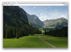
User:Jules/browsedlandscapes
Where am I going when I go online?
Which locations do we connect to when we access online content? What landscape would we see if the screen was a window?
The three projects are three variations of the same process, materialising through different aspects (biographical, political metaphor and interactive). The different applications of the same operation can generate different highlights over the question of the place when it comes to the Internet's infrastructure outputs.
The investigation was pursued over the Network with the tools I could find.
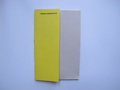
FORCED PERSPECTIVE
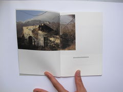
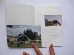
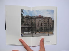
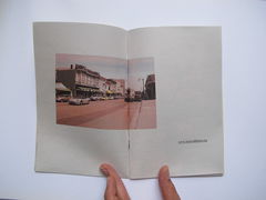
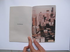
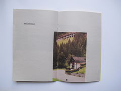
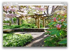
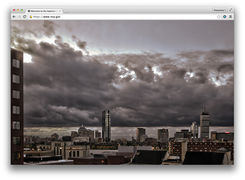
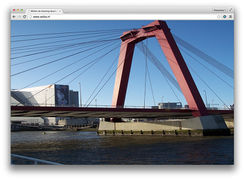
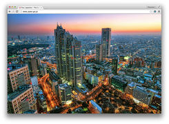
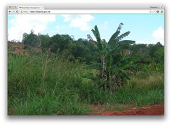
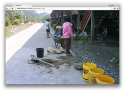
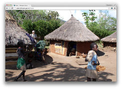
This is the photo album of the journeys I could retrace through my browsing history.
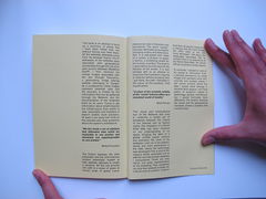
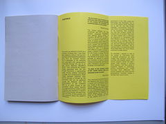
This book is an attempt to build up a summary of places that I have been linked with, but without
having ever been there. All the websites addresses come from my browser history. The IP
addresses of the websites were associated with geographical coordinates through the use of an
open source database (MaxMind GeoIP). I then retrieved the closest images associated with the
site through Panoramio, a geolocating image sharing website belonging to Google. As a
consequence, these images represent potential sites and the accuracy is limited by the information
that can be gathered through the Network, and the documentation of the inhabited Earth by its
users. Trying to get information about what’s beyond the infrastructure from within is near
impossible and therefore it doesn’t enable much precision. At least it can show the limits of this
process and raise questions about the system’s architecture.
“We live inside a set of relations that delineates sites which are irreducible to one another and absolutely not superimposable on one another”
Michel Foucault
The friction between the sites presented, and the informational content potentially hosted at their
address, attempts to create a narrative. All this can provide one with is a sense of space at human
scale, of speed, travel, distance but also of direction and boundaries. The word “screen” has been
attributed some slightly diverging origins and definitions. Still, it is associated with ideas of a
curtain, a division in space, a barrier, a protecting shield for the human, a surface. The book is a
speculative journey beyond the flatness of the screen. It is also perhaps akin to an attempt to
overcome the frustration of going to libraries without knowing how I got there, the path I followed or
the colour of the building I find myself within.
“In place of the symbolic totality of the “world”, Internet offers up a simulated world of totality”
Mark Nunes
This visual and transnational tour of the Network also tries to underline a certain set of paradoxes
between the Utopia of the Internet and its factual reality. The metaphor of a World Wide Web has
been imposed on our understanding of its space, bringing the ideal of a global unified planet
without any exclusion. Yet, most of the websites I visit are in the western world, and more
particularly in the USA, where the technology was developed. This is one of the reasons which
motivated me to add the very few foreign websites I encountered. Those are very minor, not quite
representative of my browsing. They constitute my only few contacts outside my cultural zone of
comfort. I tried to treat them all equally. However, it is striking that the more foreign the URLs seem
to me, the more estranged I felt about the landscapes associated. Not to mention that in my
experience of the World Wide Web, the whole African continent is pretty absent.
To conclude, I wanted to look at my access to information from a physical perspective, by using
images that represent some very concrete and tangible places. I still cannot pinpoint where the
data I access really belongs, it remains fairly opaque. I still have plenty of questions related to
technology, politics, architecture, but I would formulate them differently. The tension between the
virtual and the geographical inevitably creates a paradox that I cannot solve.
http://pzi.here-you-are.com/semthem02/ForcedPespective/AboutForcedPerspective_JulieBoschatThorez.pdf
GREETINGS FROM THE INTERNET
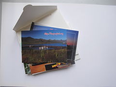
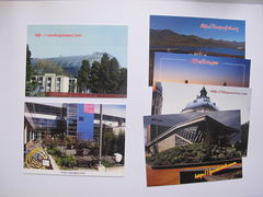
Postcards from important sites we should or may have visited.
I picked those sites because of their relation to the Snowden revelations, which eventually attracted the public's attention to the infrastructure of the Internet.
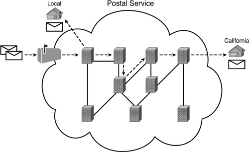
The postal service creates an analogy with the routing system (TCP/IP protocol)
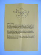
INSIDE NOTE_GREETINGS FROM THE INTERNET
The IP addresses of the websites were associated with geographical coordinates
through the use of an open source database (MaxMind GeoIP). I then retrieved the
closest images associated with the site through Panoramio, a geolocating image
sharing website belonging to Google. As a consequence, these images represent
potential sites and the accuracy is limited by the information that can be gathered
through the Network and the documentation of the inhabited Earth by its users.
Trying to get information about what's beyond the infrastructure from within is
difficult and therefore it doesn't enable much precision. At least it can show the
limits of this process and raise questions about the system's architecture and the
reasons why it got built it in such a way.
The postal Network can be regarded as a functional metaphor of the Internet
Protocol: it is another system for transferring data across the globe using addressing
and routing. Ironically, in the United States, the Mail Isolation Control and Tracking
program monitors all analog mail in a way that is comparable to the monitoring of
the Internet Network by the NSA.
http://pzi.here-you-are.com/semthem02/GreetingsFromTheInternet/AboutGreetings_JulieBoschatThorez.pdf
TELESCOPE
Extend your eyesight.
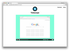
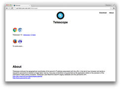
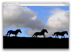
A browser plugin revealing where you could potentially be retrieving the web content you are viewing at the time you activate it.
Provisional webpage : http://www.telescopical.info/
Demo on Max OS X using Google Chrome Browser
TOOLS AND PROCESS
- Nota Bene
The geographical coordinates of the servers' IP address were associated with the websites' URL. Then a request was sent to panoramio to extract an image taken near by. Therefore, the results relies on the precision of the information made publicly available.
- Max
http://dev.maxmind.com/geoip/legacy/geolite
- Panoramio' API
- Python

